Loading...
Muir Way
Wall Maps for the Adventurous Soul
Overview
| Date Established | 10/2013 |
| Founder | Jared Prince |
| Industries |
E-commerce & Retail
Sports
Travel & Tourism
Science & Research
Home
Outdoor Adventure
|
| Website | https://muir-way.com/ |
| Social |


|
About
Muir Way's wall maps connect you to the places you love most. Maps are more than just wall decor, they remind you of your favorite memories and help to inspire new adventures. We design and print from our San Diego workshop and donate a portion of our sales to organizations that help to protect our land, water, and air.
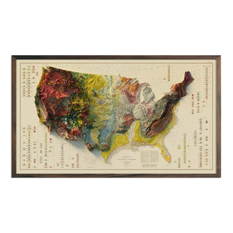
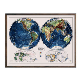
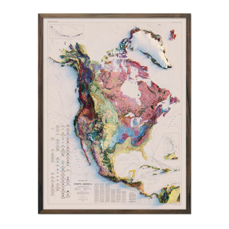
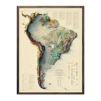
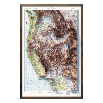
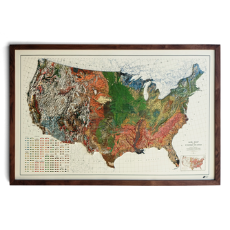
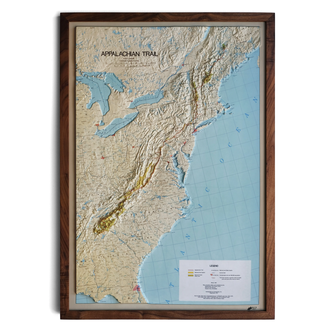
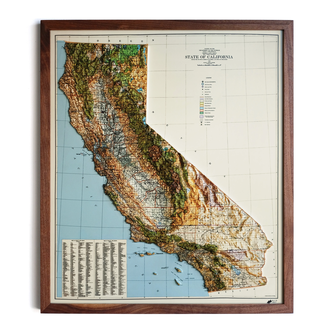
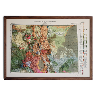
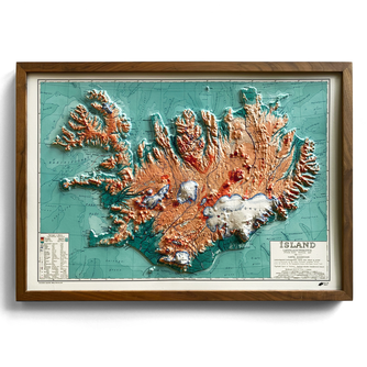
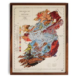
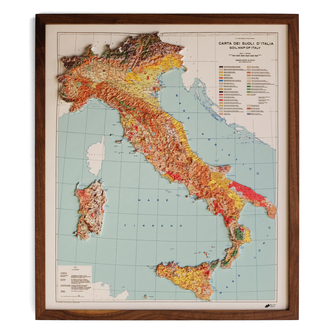
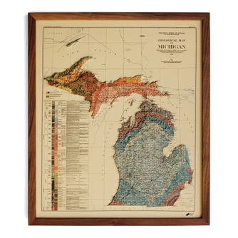
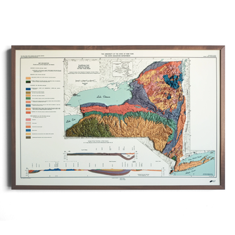
Our newest release, 3D Raised Relief Maps, are historical maps that we've transformed so they can be tactile and visually explored. We use modern elevation data to cut intricate 3D molds that align precisely with beautiful historical maps. The printed maps are heated and formed to the molds, creating a new version of the historical map with accuracy and details in the raised terrain never seen before on maps of this kind.
Additional collections:
Hydrological maps - illustrating every stream, river, and lake in each state or country
Shaded Relief maps - vintage maps that we add shading too through a digital process to give an illusion of 3D
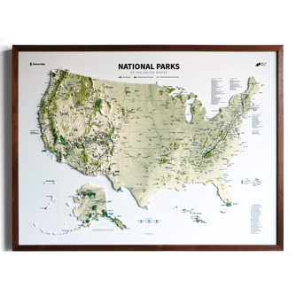
National Park maps - every park in the country
TOPO maps - ski resorts mapped with contour lines in contrasting colors
*We have maps of every state, plus many countries, continents, cities, etc. Please contact us if you would like imagery of a particular area.
Founding Story
Jared spent his life exploring the outdoors and our country's National Park system. He was always excited to open the map he'd receive at the entrance of a new national park he hadn't been to before. Those maps were more than just directions around the national park, they'd help awaken him to the beauty and adventure that was about to come. Like so many, he saved those national park maps as mementos of his trips. Unfortunately, they'd usually end up in a box, or somewhere else where they'd be forgotten. Finally, after a trip to Yosemite National Park he decided to design a map that wouldn't get lost. Using colorful and clean design he created versions of National Park maps meant for walls, not just as art, but as reminders of the places we love most. Now, as a father, he hopes to use the maps to teach his young son about the places they've been together and inspire him to go on new adventures.
Products
Sign In to Continue
×You must be signed in as a media user to and interact with hundreds of media-ready brands.
Create your Media account
×Welcome Back!
×
Sign In to Continue
×You must be signed in as a media user to and interact with hundreds of media-ready brands.
Create your Media account
×Welcome Back!
×
Sign In to Continue
×You must be signed in as a media user to and interact with hundreds of media-ready brands.
Create your Media account
×Welcome Back!
×
Sign In to Continue
×You must be signed in as a media user to and interact with hundreds of media-ready brands.
Create your Media account
×Welcome Back!
×
Sign In to Continue
×You must be signed in as a media user to and interact with hundreds of media-ready brands.
Create your Media account
×Welcome Back!
×
Sign In to Continue
×You must be signed in as a media user to and interact with hundreds of media-ready brands.
Create your Media account
×Welcome Back!
×
Sign In to Continue
×You must be signed in as a media user to and interact with hundreds of media-ready brands.
Create your Media account
×Welcome Back!
×
Sign In to Continue
×You must be signed in as a media user to and interact with hundreds of media-ready brands.
Create your Media account
×Welcome Back!
×
Sign In to Continue
×You must be signed in as a media user to and interact with hundreds of media-ready brands.
Create your Media account
×Welcome Back!
×
Sign In to Continue
×You must be signed in as a media user to and interact with hundreds of media-ready brands.
Create your Media account
×Welcome Back!
×
Sign In to Continue
×You must be signed in as a media user to and interact with hundreds of media-ready brands.
Create your Media account
×Welcome Back!
×
Sign In to Continue
×You must be signed in as a media user to and interact with hundreds of media-ready brands.
Create your Media account
×Welcome Back!
×
Sign In to Continue
×You must be signed in as a media user to and interact with hundreds of media-ready brands.
Create your Media account
×Welcome Back!
×
Sign In to Continue
×You must be signed in as a media user to and interact with hundreds of media-ready brands.
Create your Media account
×Welcome Back!
×
Sign In to Continue
×You must be signed in as a media user to and interact with hundreds of media-ready brands.
Create your Media account
×Welcome Back!
×Team Bios
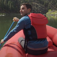
Jared Prince
Founder
Jared founded Muir Way in 2013 with the purpose to design maps that would help connect people to the places they love most.
Testimonials
Gallery
Loading Related Guides...
Sign In to Continue
×You must be signed in as a media user to from Muir Way and interact with hundreds of other media-ready brands.

